News Blog
Posted on: 20/05/2024Year 12 AS Level Geography Fieldwork Investigation
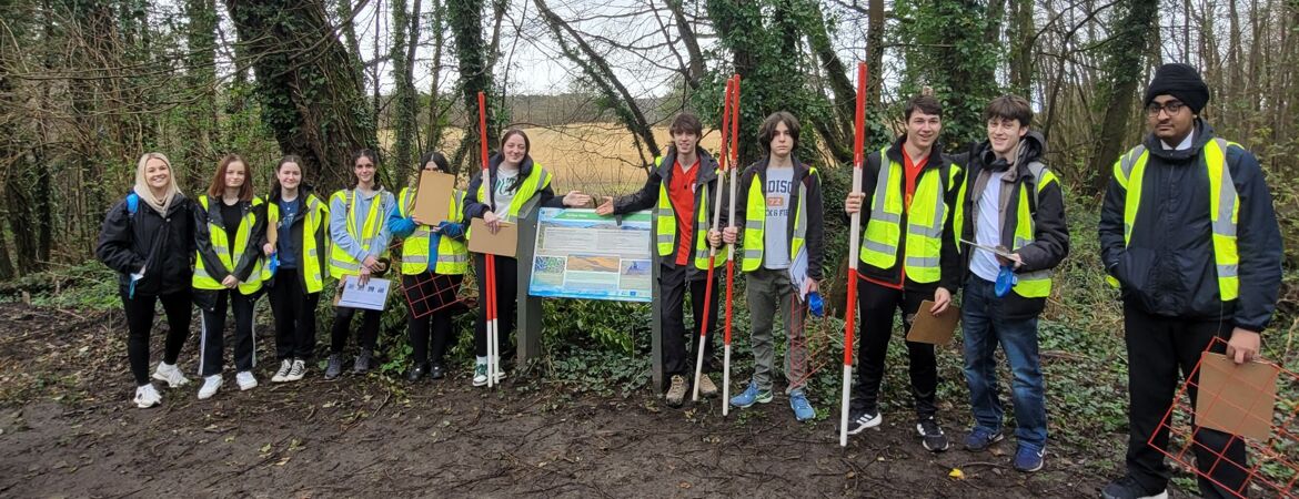
On Wednesday 20th March 2024 the Year 12 AS Level Geography pupils carried out their Fieldwork Investigation within a physical environment, which took place at Merthyr Mawr warren located near Bridgend. The pupils also visited a human environment, which took place at Porthcawl. The data collected will allow the pupils to complete the Unit 2 Section B component of their AS Level qualification, which will be assessed in the Unit 2 examination.
At Merthyr Mawr the pupils used clinometers, ranging poles and measuring tapes to measure the gradient of each sand dune and the distance between them. Quadrats were also used to investigate the change in vegetation and sediment along the succession. Photographs were taken and sketch maps created from the physical environment to identify the impact that aeolian processes have on the psammosere. The pupils then investigated the sphere of influence that Porthcawl has on the people who visit. Quantitative data was collected in the form of questionnaires to investigate how far visitors had travelled.
The pupils will now create an isopleth map to show the distance that people travelled. Qualitative data was also collected to find out how visitors think that Porthcawl can be improved.


